
Description
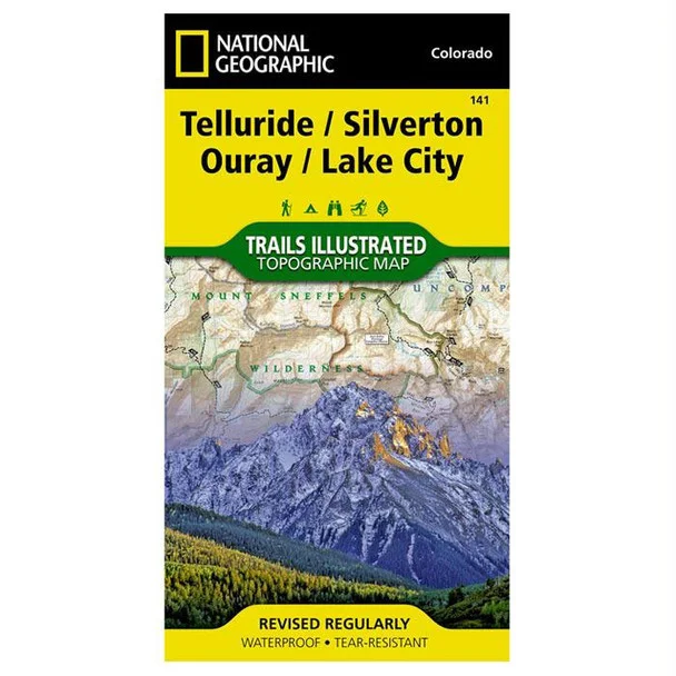
National Geographic Trails Illustrated Map of Telluride, Silverton, Ouray & Lake City – Your Ultimate Colorado Adventure Guide
The National Geographic Trails Illustrated Map of Telluride, Silverton, Ouray & Lake City is a must-have for outdoor enthusiasts exploring the stunning Colorado backcountry. Expertly developed in collaboration with local land management agencies, this map serves as an invaluable resource for navigating diverse recreational activities throughout the year.
Designed for activities such as skiing, snowmobiling, camping, fishing, mountain biking, and ATVing, this map not only helps you discover the region’s breathtaking landscapes but also provides vital information about access points and trail conditions. Printed on waterproof, tear-resistant “Backcountry Tough” paper, it withstands the rigors of outdoor use while ensuring detailed rendering of trails, elevation contours, and key landmarks.
- Features comprehensive trail maps including Colorado Trail and Continental Divide Trail
- Covers popular attractions like Uncompahgre Wilderness and Alpine Loop National Scenic Byway
- Includes campgrounds, boat launches, and fishing access points
- Utilizes UTM grid for GPS navigation accuracy
- Durable, waterproof, and tear-resistant design for rugged outdoor use
Enhance your outdoor experience with the trusted Trails Illustrated Map found at The Outdoor Warehouse. Whether navigating backcountry trails or planning your next adventure, this map is your reliable guide to the enchanting landscapes of Colorado.


Reviews
There are no reviews yet.