
Description
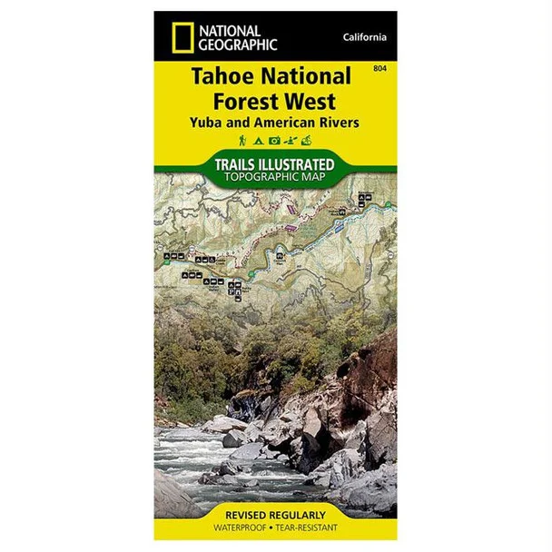
National Geographic Trails Illustrated Map of Yuba/American Rivers – Ultimate Outdoor Navigation
The National Geographic Trails Illustrated Map of Yuba/American Rivers is a must-have for adventurers exploring the Tahoe National Forest. Crafted in collaboration with the U.S. Forest Service, this exceptional map serves as a reliable navigation tool for outdoor enthusiasts, offering detailed insights into hiking, camping, skiing, and more in this breathtaking Sierra region.
Made from durable, weather-resistant materials, this map delivers high-quality, clear graphics that highlight various points of interest such as French Meadows, New Bullards Bar Reservoirs, and the Granite Chief Wilderness. The comprehensive trail markings, including segments of the Pacific Crest and Tahoe Rim trails, ensure you can safely traverse and discover the area’s natural beauty.
- Covers the scenic Tahoe National Forest and surrounding regions
- Color-coded trails for easy navigation based on usage
- Includes key recreational facilities: campgrounds, boat launches, ski areas
- Enhanced with elevation contours to aid in route planning
- Highlights scenic byways for fantastic driving experiences
Explore the wonders of the Yuba and American River regions with confidence using this exceptional mapping resource. Available now at The Outdoor Warehouse, your trusted source for professional outdoor gear.



Reviews
There are no reviews yet.