
Description
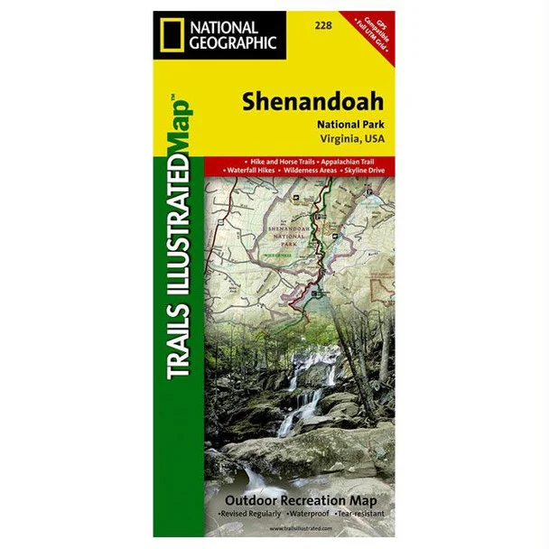
National Geographic Shenandoah National Park Trail Map – Explore with Confidence
The Shenandoah National Park Trail Map, crafted by National Geographic in collaboration with local land management agencies, serves as an essential companion for outdoor enthusiasts. This expertly designed map showcases every detail necessary for adventurous exploration, whether hiking, fishing, or enjoying ranger programs in one of America’s most beautiful parks.
Constructed using durable, “Backcountry Tough” waterproof and tear-resistant paper, this map is built for the rugged outdoor conditions. Featuring insets from key areas like Loft Mountain and Big Meadows, it includes vital information such as waterfall heights, hiking distances, and elevation gains. With clearly marked trails like the Appalachian and scenic routes such as Skyline Drive, it supports all types of outdoor recreation.
- Detailed topographic information with contour lines to enhance navigation.
- Comprehensive coverage of recreational features including archery ranges and boat launches.
- Includes a handy chart listing waterfall details for hiking adventurers.
- UTM grid provided for GPS navigation accuracy.
- Designed to withstand the rigors of outdoor use with waterproof and tear-resistant material.
This map is the perfect tool to maximize your experience in Shenandoah National Park. Explore the great outdoors with this reliable resource, available now at The Outdoor Warehouse — your trusted source for professional outdoor gear.



Reviews
There are no reviews yet.