
Description
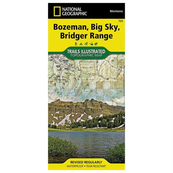
National Geographic Trails Illustrated Bozeman, Big Sky, Bridger Map #723 – Your Essential Outdoor Guide
The National Geographic Trails Illustrated Bozeman, Big Sky, Bridger Map #723 is a must-have for outdoor enthusiasts navigating the breathtaking landscapes of the Bridger and Gallatin Ranges. Available at The Outdoor Warehouse, this comprehensive map delivers invaluable information and detailed topographical coverage for year-round recreational activities.
Crafted with the insights from local land management agencies, this expertly researched map highlights key locations, including Gallatin National Forest, Hyalite Reservoir, and the stunning Lee Metcalf Wilderness. With trail mileage between intersections, seasonal trail closures, and tips for trail use, adventurers can confidently choose their path. Whether you’re hiking, fishing, or skiing, this map enhances your outdoor experience with safety tips and essential contact information.
- Detailed coverage of the Bridger and Gallatin ranges for all-season exploration
- Includes information on campgrounds, trailheads, fishing areas, and more
- Contour lines and shaded relief for improved navigation and understanding of terrain
- Prominent locations marked, including Hyalite Peak and Sacagawea Peak
- Features helpful trail profiles and recreation tips for safety and enjoyment
Available now at The Outdoor Warehouse, this map is your trusted resource for navigating the natural beauty of Bozeman, Big Sky, and the Bridger Range. Ensure you have the best outdoor gear for your adventures!



Reviews
There are no reviews yet.