
Description
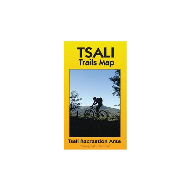
Tsali Trails Map – Ultimate Guide for Mountain Bikers in North Carolina
The Tsali Trails Map is an essential companion for any outdoor enthusiast visiting the Tsali Recreation Area in western North Carolina. This detailed map is crafted by The Outdoor Warehouse to provide bikers and hikers with the ultimate navigation tool while exploring over 40 miles of exciting single track trails near Lake Fontana and Great Smoky Mountains National Park.
Designed for performance and durability, this waterproof topo map features clear routes for all four loops at Tsali, ensuring you won’t lose your way in the great outdoors. With detailed elevation profiles and the trail schedule for bicycles and horse riders, this comprehensive map enhances your adventure. Additionally, it includes alternative forest road suggestions for those rainy days, making it the go-to resource for planning your outdoor itinerary.
- Waterproof and tear-resistant material for durability in any weather
- Detailed color topo map showing all four loops for easy navigation
- Elevation profiles provided for each trail section to plan your ride
- Includes schedule for bike and horse trail access
- Lists nearby forest roads for alternate riding options during wet conditions
Compatibility
Designed for use in the following outdoor activities:
- Mountain biking
- Hiking
- Horseback riding



Reviews
There are no reviews yet.